

Jhomolhari - Soi Yaksa Trek
Eight days on the Jhomolhari base camp circuit
Up the Paro Chhu to Jangothang under the north face of Jhomolhari, then over two high passes and back down through the Soi Yaksa valley.
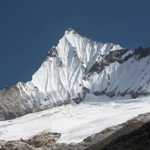
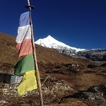
This is the shorter of the two Jhomolhari routes and, for most people, the better one. You walk up the Paro Chhu to Jangothang at 4,080 m, camp two nights under the north face of Jhomolhari (7,314 m, and one of the great mountain views in the Himalayas), then cross Bhonte La and Takhung La and come down the Soi Yaksa valley.
The rest day at Jangothang is not a rest day if you do not want it to be. There are day walks up to the lakes below Jichu Drake, and to the ridge above camp where blue sheep graze.
After the passes the route drops steadily through yak pasture and into forest, meeting the road again at Shana. Eight days of walking, with five cultural days around them.
What stands out
- Two nights at Jangothang under the north face of Jhomolhari
- The day walks from Jangothang up to the lakes below Jichu Drake
- Bhonte La and Takhung La, both over 4,700 m
- Blue sheep, and if you are fortunate, Himalayan griffons over the passes
The itinerary
-
Day 1 7,610 ft
Arrive Paro, drive to Thimphu
Met at the airport and driven to the capital.
-
Day 2 7,610 ft
Thimphu
Sightseeing, and a chance to buy anything missing from your kit.
-
Day 3 7,480 ft
Thimphu to Paro
Back down to Paro. Kit check with your guide in the afternoon.
-
Day 4 10,150 ft
Paro: the walk up to Taktsang
The Tiger's Nest, which doubles as a useful acclimatisation walk.
-
Day 5 9,350 ft
Paro to Shana: the trek begins
Drive to Drukgyel Dzong, then up the Paro Chhu through farmland and into forest. Around five hours.
-
Day 6 11,840 ft
Shana to Soi Thangthangkha
A long day climbing steadily beside the river, through rhododendron and birch. If the cloud lifts at the end, Jhomolhari appears ahead. Seven to eight hours.
-
Day 7 13,390 ft
Soi Thangthangkha to Jangothang
Above the treeline now, past an army post and into open yak country. Camp sits below the north face of Jhomolhari. Five hours.
-
Day 8 13,390 ft
Jangothang: acclimatisation day
A day at camp, with optional walks up to the lakes below Jichu Drake or onto the ridge behind. Blue sheep are usually on the slopes.
-
Day 9 16,000 ft
Jangothang to Soi Yaksa over Bhonte La
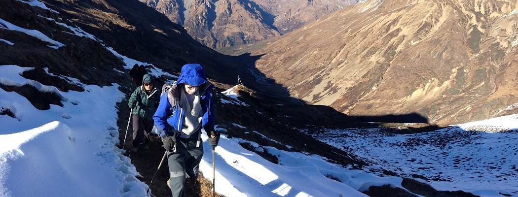
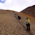
The hardest day. A long climb to Bhonte La at about 4,890 m, then down into the Soi Yaksa valley with its lake. Seven to eight hours.
-
Day 10 13,710 ft
Soi Yaksa to Thombu
Over Takhung La and down to camp at Thombu Shong. Around six hours.
-
Day 11 9,350 ft
Thombu to Shana: the trek ends
Over Thombu La and a long descent to meet the vehicle, then the drive to Paro. Five hours walking.
-
Day 12 7,480 ft
Paro
Rinpung Dzong, the National Museum, and a hot stone bath if you want one.
-
Day 13 7,480 ft
Departure
Morning transfer to the airport.
What is covered
- All internal transport with a private vehicle and driver
- A licensed English-speaking Bhutanese guide throughout
- Accommodation in government-approved three-star hotels, or better on request
- All meals: breakfast, lunch and dinner
- All entry fees to monuments, dzongs and museums
- Bhutan visa processing and the visa fee
- The Sustainable Development Fee
- All internal taxes and the government royalty
- Full camping equipment: tents, mattresses, dining and toilet tents
- A trekking cook and camp crew
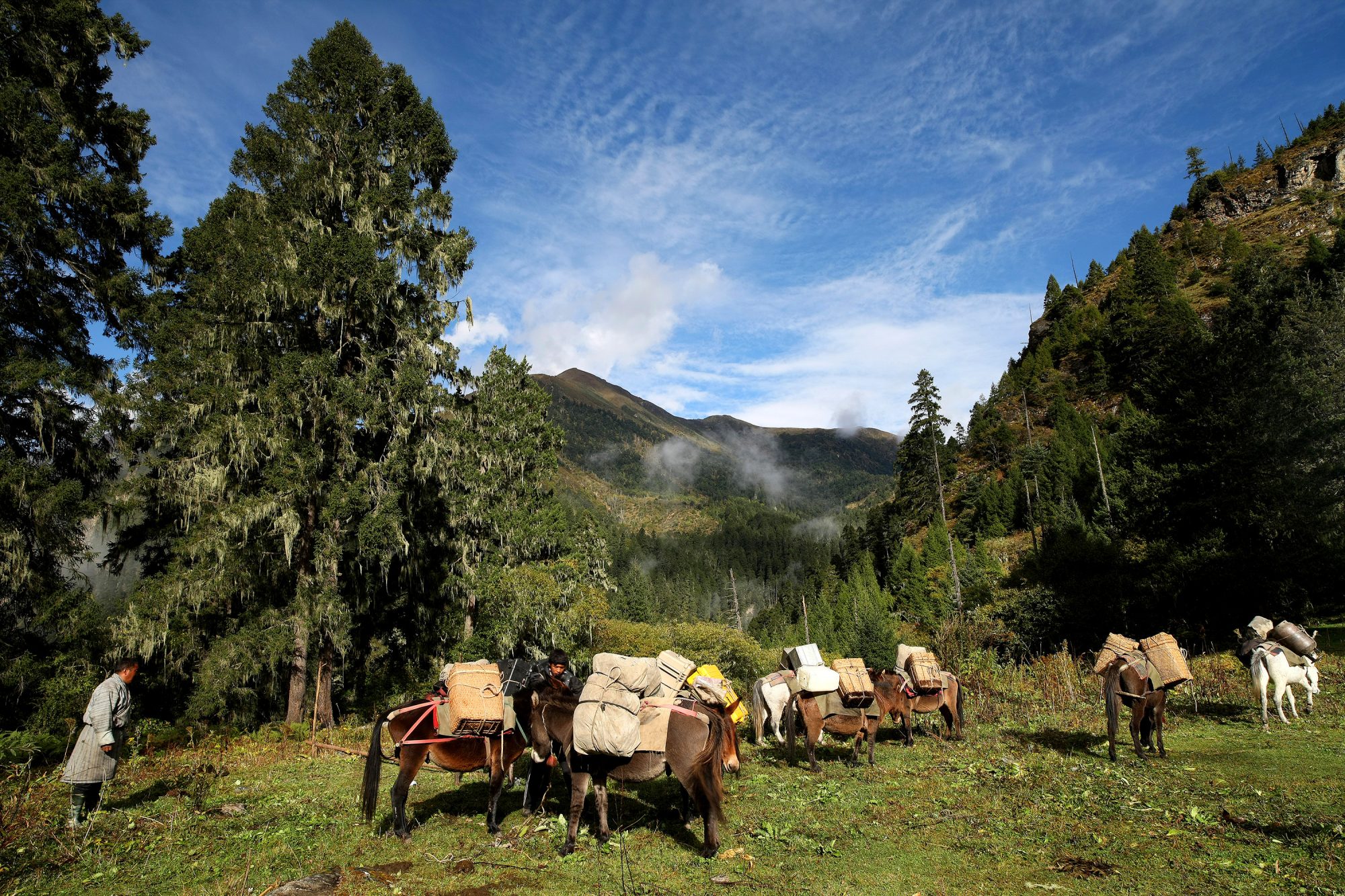
- Pack horses or yaks for all group equipment and your main bag
- International flights to and from Bhutan
- Travel insurance, which we ask every guest to arrange
- Drinks, laundry, telephone and other personal expenses
- Tips for your guide and driver
- Anything not listed as included
Altitude is the real consideration. You sleep at 4,080 m for two nights and cross passes near 4,900 m. The itinerary is built to acclimatise properly, but tell us about any history of altitude sickness before you book.
Weather closes the passes occasionally in spring and late autumn. We carry a fallback route and your guide will make the call on the day.
On this trip
Other trips

Trekking Tours
Jhomolhari - Laya Gasa Trek
The classic long route: up to Jangothang, north along the Tibetan border through Lingshi and Laya, and out…

Trekking Tours
Bumthang Owl Trek
A short, high walk through blue pine and rhododendron above the Bumthang valleys, named for the owls you…

Trekking Tours
Sagala Trek
A short walk over the ridge that separates Haa from Paro, through forest and yak pasture, inside a…